The Invergordon Archive
No: 663 Contributor: The Highland Council Planning Department Year: 2003
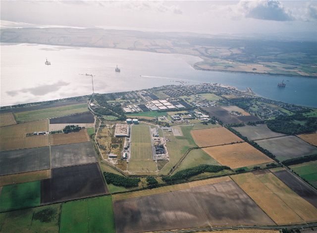
Aerial view of Invergordon looking SouthA fascinating view of Invergordon looking south, with the A9 Trunk Road running across the bottom of the picture, the Cromarty Firth and the Black Isle in the distance, and the Moray Firth in the background. Even more detail can be seen in the Larger Version.
This picture is one of a series taken by The Highland Council.
 View Large Version
Picture added on 21 April 2005
This picture is in the following groups
Aerial views taken by The Highland Council Planning Department
Aerial views taken by The Highland Council Planning Department
Aerial views taken by The Highland Council Planning Department


