The Invergordon Archive
No: 662 Contributor: The Highland Council Planning Department Year: 2003
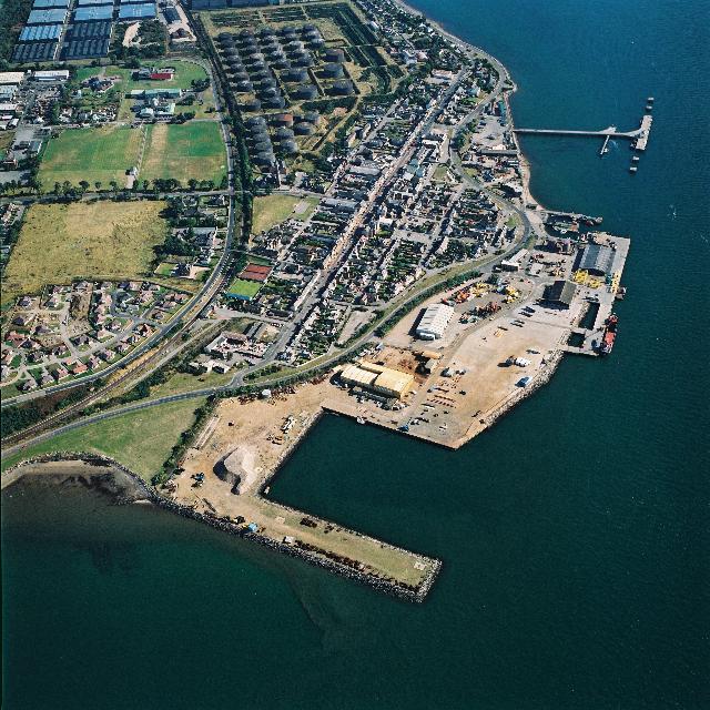
Aerial View of Invergordon from the South-WestAnother view of Invergordon from the air taken by The Highland Council as part of a series which formed part of the analysis of land usage in Easter Ross.
This view clearly shows the grid pattern of the roads network in the town, the Shore Road marking the line of the shoreline before considerable land reclamation was carried out during the last century.
The detail shown in the Larger Version is remarkable.
 View Large Version
Picture added on 21 April 2005
This picture is in the following groups
Aerial views taken by The Highland Council Planning Department
Aerial views taken by The Highland Council Planning Department
Aerial views taken by The Highland Council Planning Department


